


On Sunday evening, Republican Governor Tate Reeves issued a state of emergency in anticipation of the winter weather, directing the Mississippi Emergency Management Agency to distribute resources to regions of the state where they're most needed.
As of today, that's been much of Northern Mississippi, where snow and ice have covered roadways and bridges in several counties. But freezing rain, sleet and dangerously low temperatures have reached as far as coastal communities.
Beau Moore, Public Information Officer at the Lafayette County Emergency Management Agency, says the storm and the conditions its brought with it have slowed much of the county's daily life.
“Right now we have a layer of sleet which is potentially turning to ice, and then we have a snow-sleet mixture on top of that,” he told MPB News. “Roadways are very hazardous right now to be driving on, but we are still due to receive some snow and sleet, so until the precipitation leaves the area we’re just going to have to let a lot of it fall.”
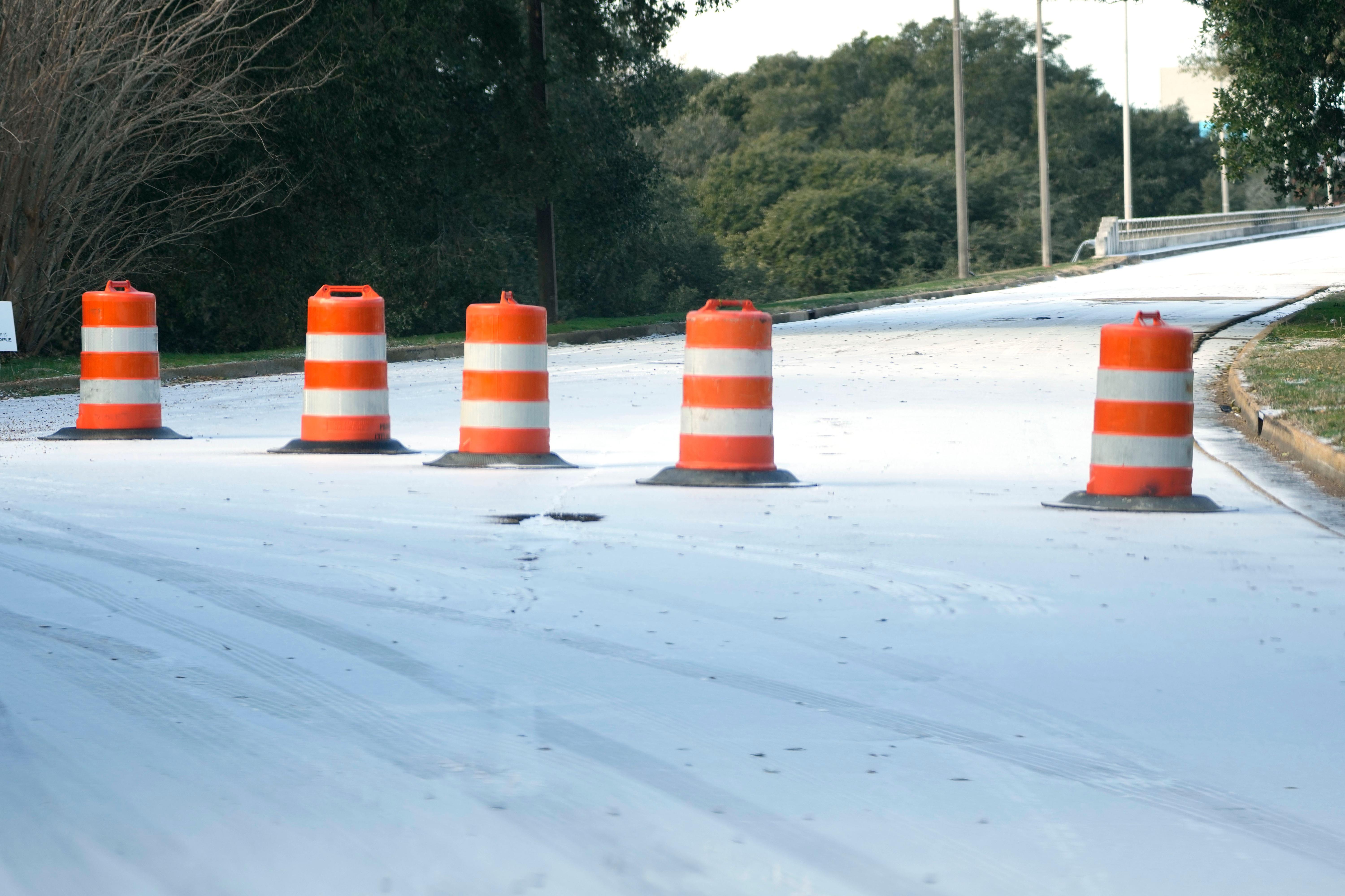
Some of the largest impacts of the storm have been on roadways across the state: after a night of well-below-freezing temperatures and precipitation driven by the storm, 75 of Mississippi's 82 counties on Tuesday morning reported ice along roadways and bridges.
“In situations like this, we warn people to stay home because the conditions are just too hazardous. We saw [Monday] there were numerous wrecks and people were stuck in their vehicles,” said David Kenney, public information officer at the Mississippi Department of Transportation. “That’s what we’re trying to avoid: people stuck in their vehicles on the interstate for hours.”
The highest snowfall totals so far were seen in the DeSoto county community of Horn Lake, which saw more than 7 inches fall by midday Monday alone. On the same day, the city of Greenwood matched its lowest ever recorded temperature of just 15 degrees Fahrenheit.
But the combination of such low temperatures and precipitation can have an impact on more than just road conditions. Allie Jasper, Public Information Officer at MEMA, says it's imperative that residents enter the weather window with preparedness in mind.
“Another worry that we have is power outages. With this kind of precipitation, we could have trees falling and things like that. If there is a prolonged power outage, are you prepared for that? Do you have a disaster go kit, a way to heat your home just to keep warm?