Your Page Title

Pearl River flood timeline moved up, Mississippi governor declares State of Emergency

Email share
Comments
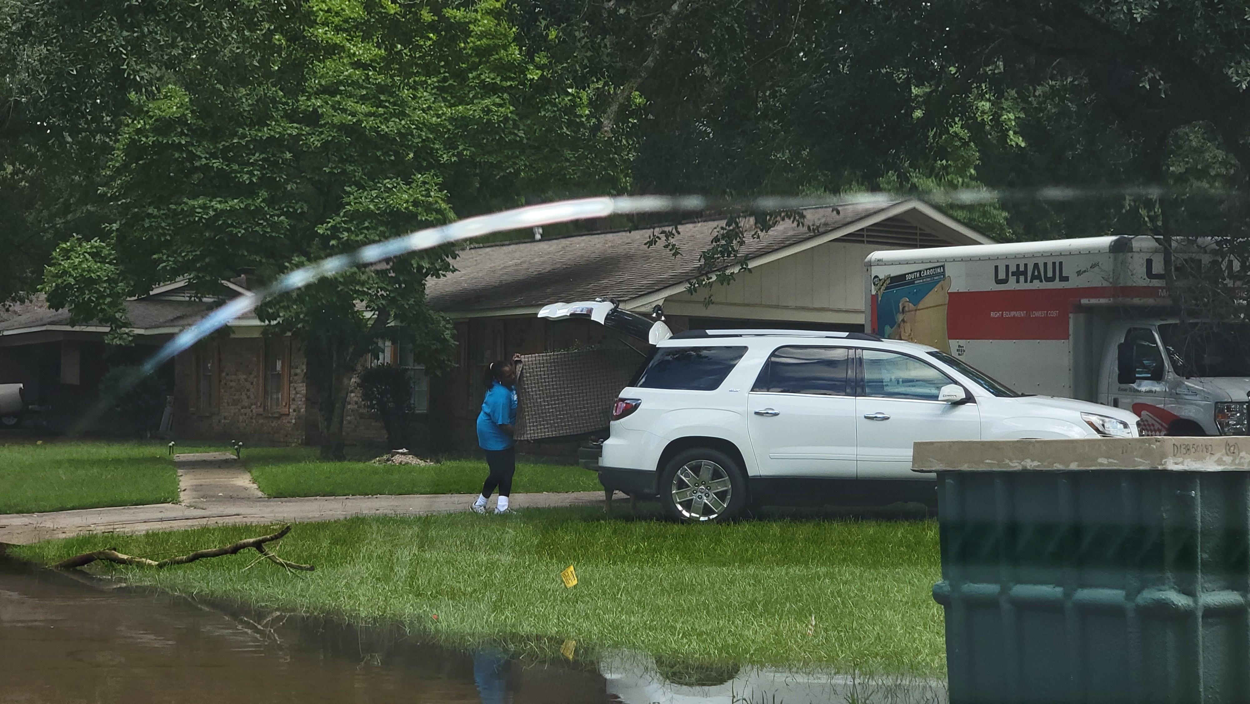
A resident of the Canton Club neighborhood loads furniture into her car as they prepare for flood waters to rise in the area. During the flood of 2020, many homes in the neighborhood were inundated.
Kobee Vance, MPB News
An updated map provided by MEMA on what areas along the Pearl River will be in the flood path.
Kobee Vance, MPB News.

Governor Tate Reeves has declared a State of Emergency as flood waters are expected to inundate many Jackson homes and businesses within the week. Originally meteorologists estimated the water line from the Pearl River would crest at 36 feet on Tuesday, but the river is climbing at a higher rate than expected. Now, they estimate a crest of 36 feet will arrive late Sunday night or early Monday morning.

“Additionally, search and rescue teams are on standby and are prepared to respond at the request of local emergency managers,” says Governor Reeves. “If you are in need of shelter, you can go to the Jackson police training academy at 3000 Saint Charles St. in the city of Jackson. It is open and being run by the American Red Cross.”

Flood waters will recede slowly, with reports saying they may remain for 5-7 days from the crest.

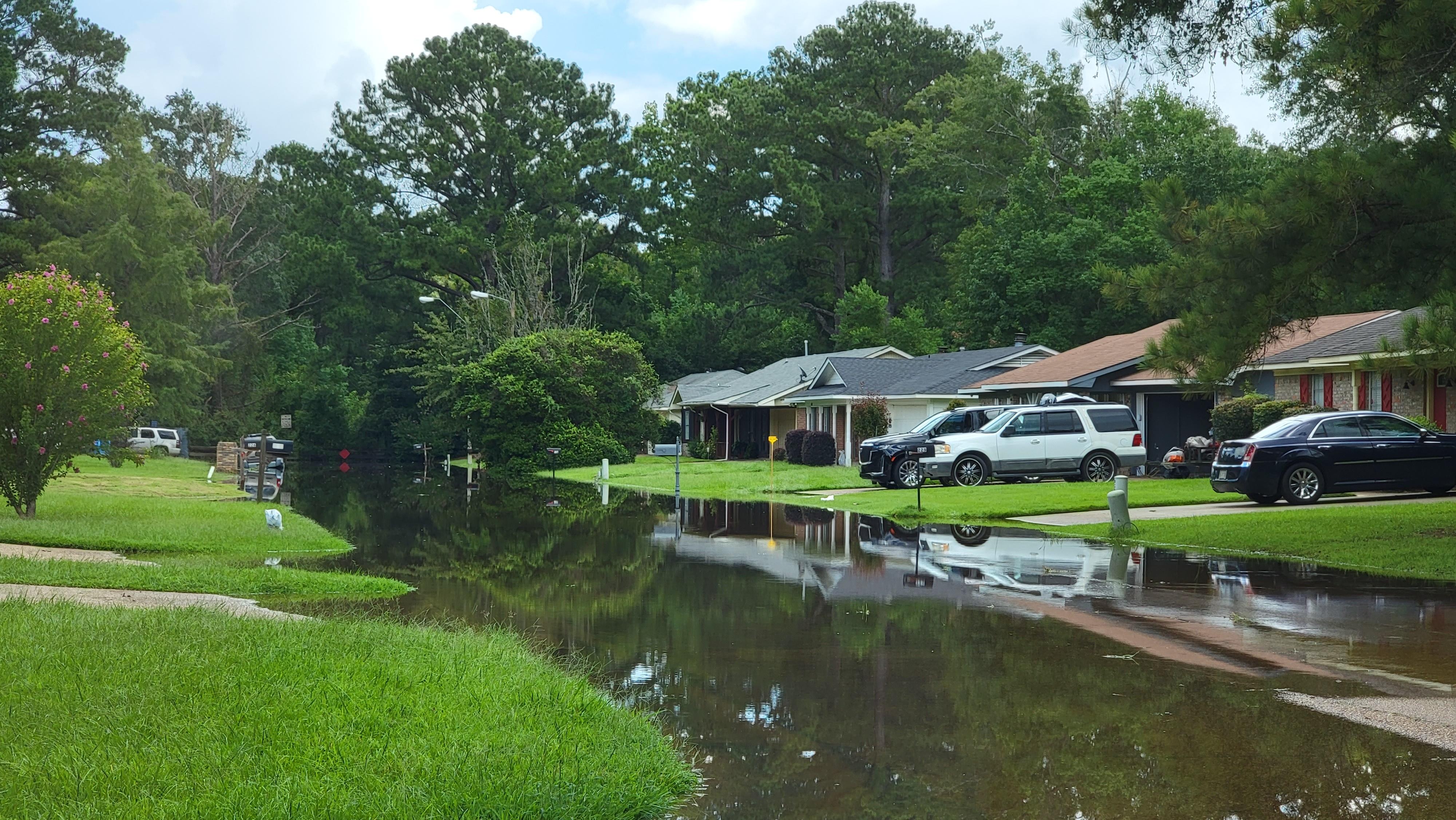
The flood pattern is predicted to follow a very similar path to the historic Pearl River flood in 2020. During that event, the floodplain reached 36.8 feet, the third highest in the river’s recorded history. Emergency management officials say if a home was affected during that flood, their home could very likely be in the same path this time.

“If you have neighbors that you know who moved here six months ago, inform them. Let them know. Talk to your neighbors about what impacts they did have at their house,” says Director Stephan McRaney of the Mississippi Emergency Management Agency.

MEMA has published a dedicated page on their website for residents to access several essential resources. These include advice on how people can pack for evacuation, report damages, and see where sandbags can be accessed. The National Weather Service has also published an interactive map for residents to see how close the water may come to their homes. However, the maps may have an underestimation margin of error when compared to flood maps from 2020.

The City of Jackson has asked those living in flood-prone areas to voluntarily evacuate. While the majority of flooding is expected along the Pearl River in Northeast Jackson, Governor Tate Reeves says some floodwaters are expected in the downtown area.

The Mayor of Ridgeland, Gene McGee, has recently announced a mandatory evacuation for residents at Harbor Pines Mobile Homes as local power provider Entergy has cut electricity in the area.

Director McRaney says flooded roadways should be avoided if possible, and the dangers of floods become much more severe at night. These waters can hide deep holes, sharp objects and wildlife.“There's a limited amount of daylight from now until dusk Sunday to try to prepare yourself if you're planning to get out," said McRaney.

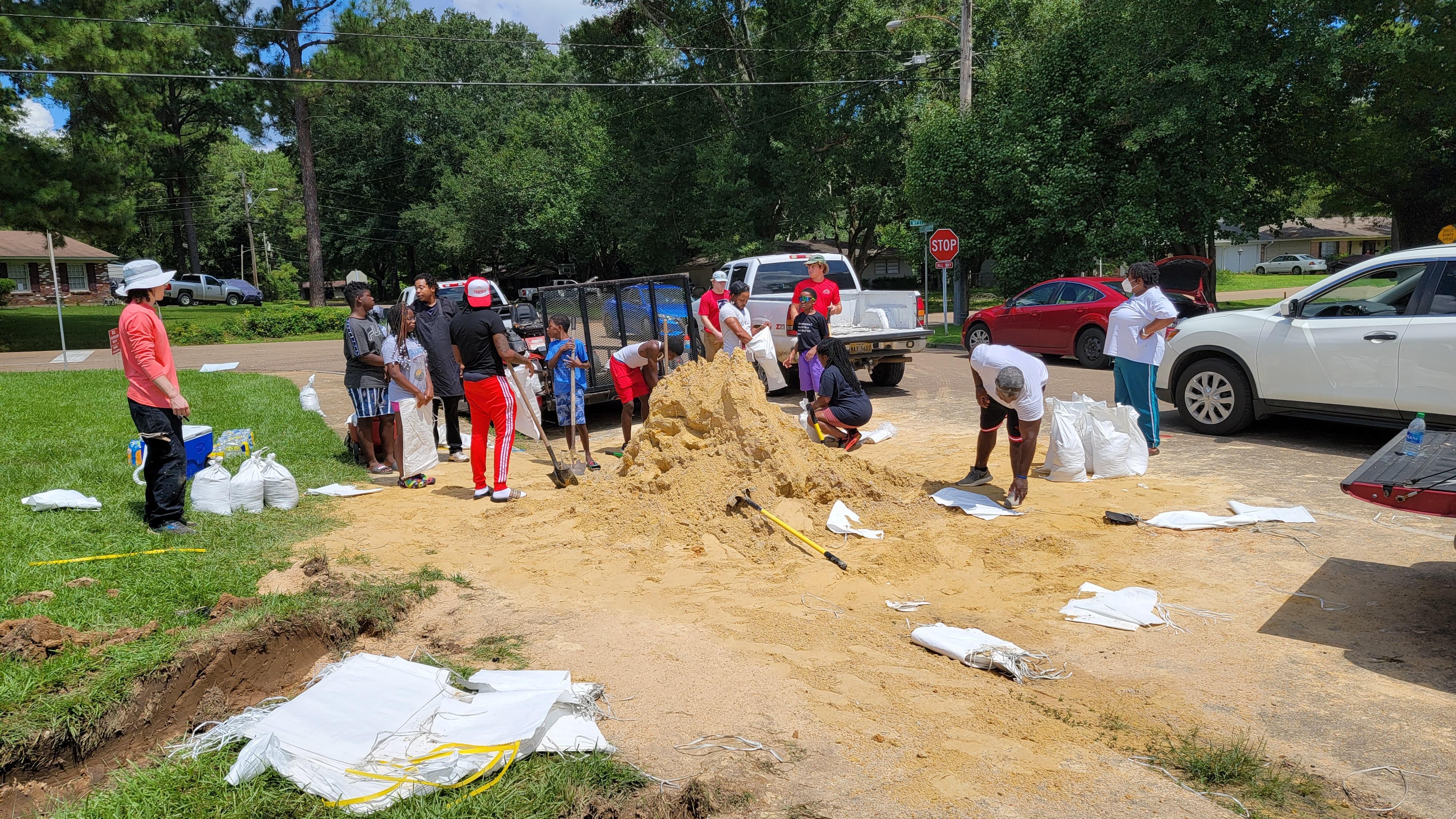
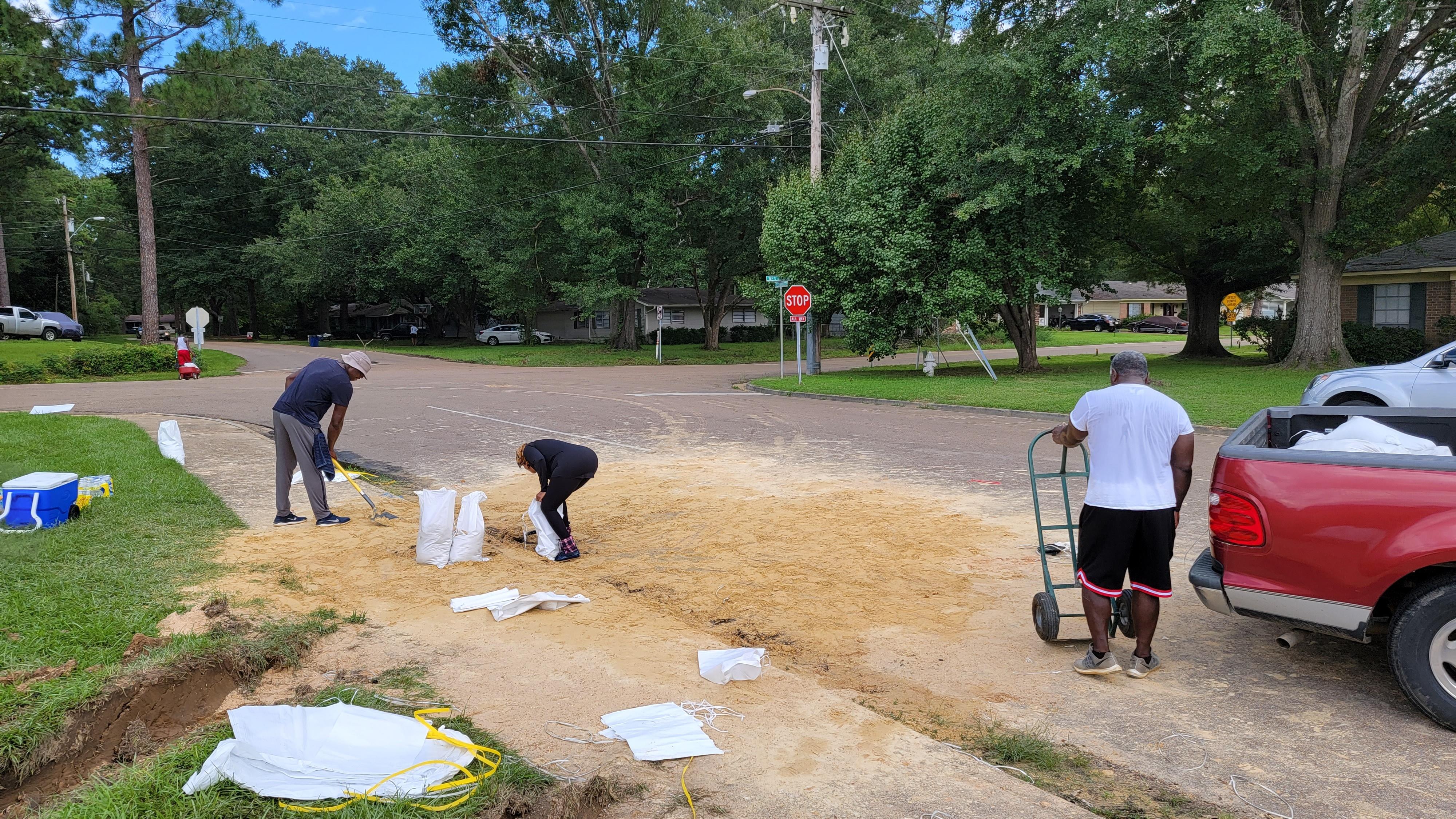
Residents in flood-prone areas have been filling sandbags provided by the city, using them to block water from entering their homes. In one area where flood levels were relatively deep during the 2020 event, a large pile of sand was depleted within just a couple of hours by groups of volunteer community members and residents. Residents say they are glad to have more time to prepare for this flood, but say this is a very stressful situation to live through.

Some are also using trailers, U-Hauls and personal vehicles to load up many of their belongings and move them to higher ground until the storm passes.

Although the flood of 2020 was a federally declared disaster, the state did not qualify for individual assistance. Officials say they will need residents to fill out disaster relief forms, which allows for a better chance of reaching the requirements for federal aid.

Currently, the Ross Barnett Reservoir is taking in 67,000 cubic feet of water per second from storm runoff in northern parts of the Pearl River. Some of those northern areas have crested and have begun to recede, but those waters will continue into the reservoir and contribute to the flooding in Jackson and further down the river.

The spillway is releasing around 60,000 cubic feet per second, more than the volume of water put out by Niagara Falls according to the Weather Channel. The National Weather Service says much of the excess water is capable of being stored in eastern parts of the large body of water, but there will be a point where more water must be released to prevent overflow.

MEMA is urging those who live outside of the affected areas to not sight-see. He says the areas will be an active zone for rescue, as well as people trying to evacuate their homes. Additional traffic could hinder efforts to potentially save lives or property.